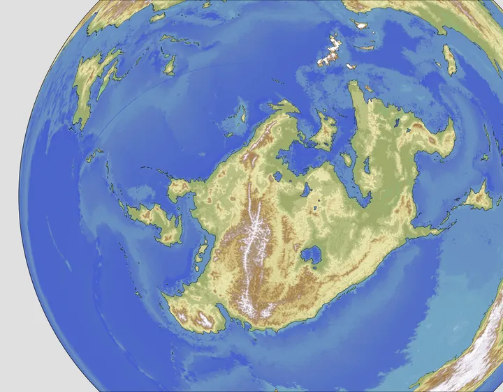
World Building and Cartography
I am remaking the map of my world. An old map I made looked like this⸻
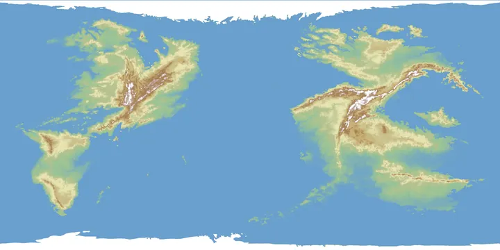
and I didn't really like how it looked, so I bit the bullet and started simulating plate tectonics instead of trying to do it myself. I had to go through quite a few runs to get a shape I actually liked, and one that fit with my idea of the world. I still took some artistic liberties with the coastline, and to be fair, my version is more realistic than what the simulator originally gave me anyway.
Then I offset the poles to get the look I wanted. However, since Wilbur erases about 2px from the edge of each image, I had to manually brush over those mistakes in Clip Studio Paint.
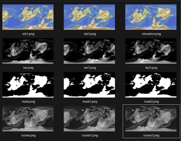
I also had to run 3 images through G.Projector, one for mask, heightmap, and rendered image each to produce a new render, fix it, and repeat the whole process again. There should really be an easier way to do this. I tried Projection Pasta, but it was even more limited than G.Projector.
Maybe there is a better solution to all this brute labour, because I really don't want to be doing this every time I make a change. :')
Although I am satisfied with the results, I will mostly be building this continent of this world have a look.